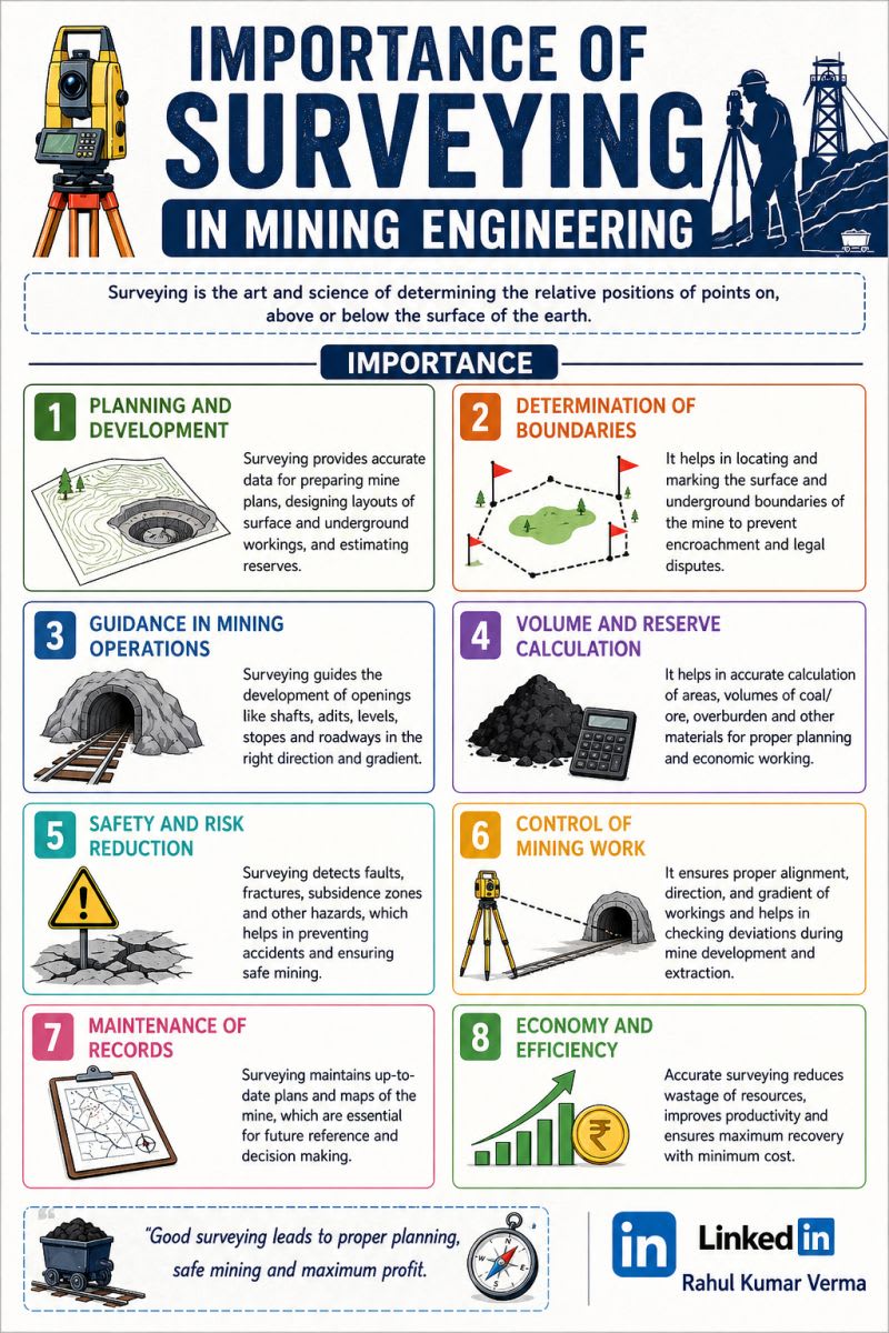

The Evolution of Mining Surveying
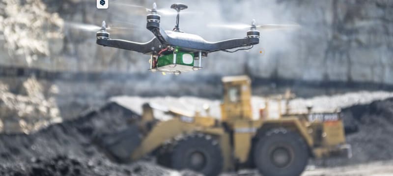
Mining surveying has undergone an extraordinary transformation from compass-and-chain measurements deep underground to AI-powered digital twins, drones, LiDAR, and autonomous surveying systems. I created this infographic to showcase how mining surveying has evolved across generations of innovation and technology. The journey includes: Early underground mapping using pacing, plumb bobs, and compasses Theodolites, triangulation, and plane table surveying Aerial photogrammetry, stereoscopes, and stereo plotters Total stations, EDM, and digital terrain modeling UAV/drone mapping and LiDAR point clouds GNSS, RTK positioning, and mobile mapping systems AI-driven analytics, real-time monitoring, and digital twins Modern mining surveying is no longer just about measuring distances and boundaries, it now powers: Safer mining operations Real-time monitoring Precision excavation and blasting Volume calculations & reserve estimation Autonomous mining systems Smart and sustainable mining As geospatial technologies continue to evolve, mining surveyors are becoming key contributors to digital transformation in the mining industry. The future of mining surveying is intelligent, automated, connected, and data-driven.